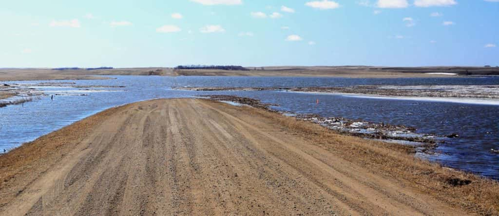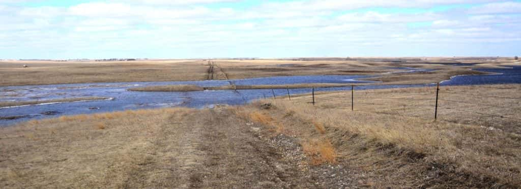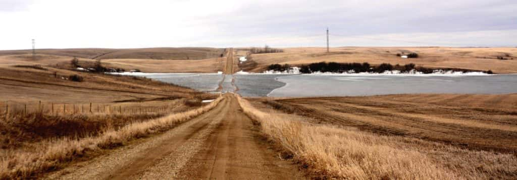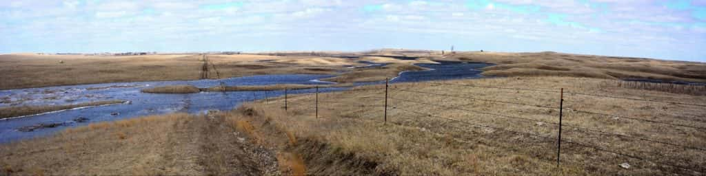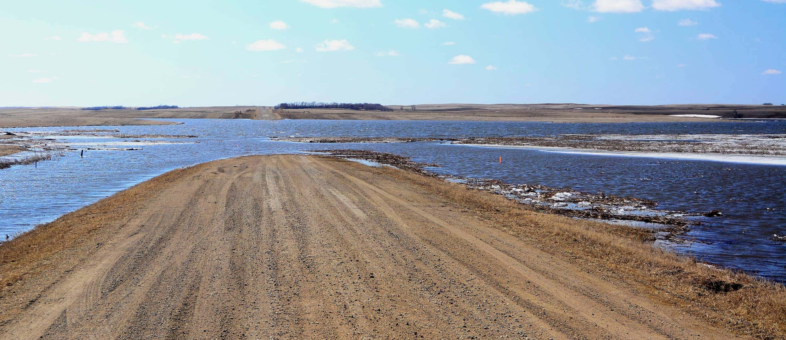
JAMESTOWN, N.D. (NewsDakota.com) – Many regions of the state including the Prairie Pothole Region continue to see an excess amount of water from record moisture in 2019.
Allen Schlag, Hydrologist for the National Weather Service, reports that rising waters that continue to sit across farmland, wetland, and roads in the Prairie Pothole Region may be the result from years of melting ice.
“Over 12,000 years ago as ice sheets that were nearly 1 mile thick melted, dirt, rocks, sand, and clay carried down from Canada eventually settled in as sediment around huge ice blocks,” Schlag explains. “Where those ice blocks were stranded, the glacial outwash of all this material formed the shorelines and rolling hills in between the lakes created as the ice blocks melted and left large voids on the Earth’s surface.”
One example of this is Devils Lake in 1993, which Schlag says was not a unique situation to North Dakota considering evidence from the rings of dead trees in the water.
“Those dead trees tend to be cottonwoods that grew on a relatively stable shoreline for 50 to 100 years,” Schlag explained. “However, all one had to do was drive Highway 83, U.S. 2 or 52, and I-94 to document this as a nearly state-wide problem. I think that while we have not only had our fair share of heavy spring floods, something else is also at play here. And that other factor is timing, we have had some pretty large precipitation events in the fall and have greatly increased recharge to our aquifers the past 10 or more years.”
Without well established natural outlets, Schlag says it would lead to the increase in bodies of water.
“While we are nearing what may be historical highs on many of these wetlands, there are still some indicators that suggest we have a little more to go before we are widely treading on new ground. I’d suggest that ND became a state and was widely developed on what was probably the lower end of our true hydrologic range.”
Schlag says water has slowly been rising in small lakes, which is a sure sign that groundwater has risen significantly in a given area.
“If those local surface waters are connected to the groundwater, they must also rise,” he explained.
Schalg adds that the Prairie Pothole Region, especially portions surrounding the James River and Pipestem Creek, tend to be more sensitive to small fluctuations. He adds that it may take years before the region could start seeing significant drops in the surface waters because of how much water is stored in the aquifers.
Schalg also points out that it may be a while before we see waters begin to recede in the area.
“While we are nearing what may be historical highs on many of these wetlands, there are still some indicators that suggest we have a little more to go before we are widely treading on new ground,” he stated.
Below are some photos courtesy of Rick Bohn in different parts of the Prairie Pothole Region this year.