
(NDAgConnection.com) – Cool conditions in the Midwest, accompanied by widespread rainfall, finally wiped out pesky dry zones this past week, one in northern Minnesota and another stretching across portions of eastern Iowa, northern Illinois and southern Wisconsin.
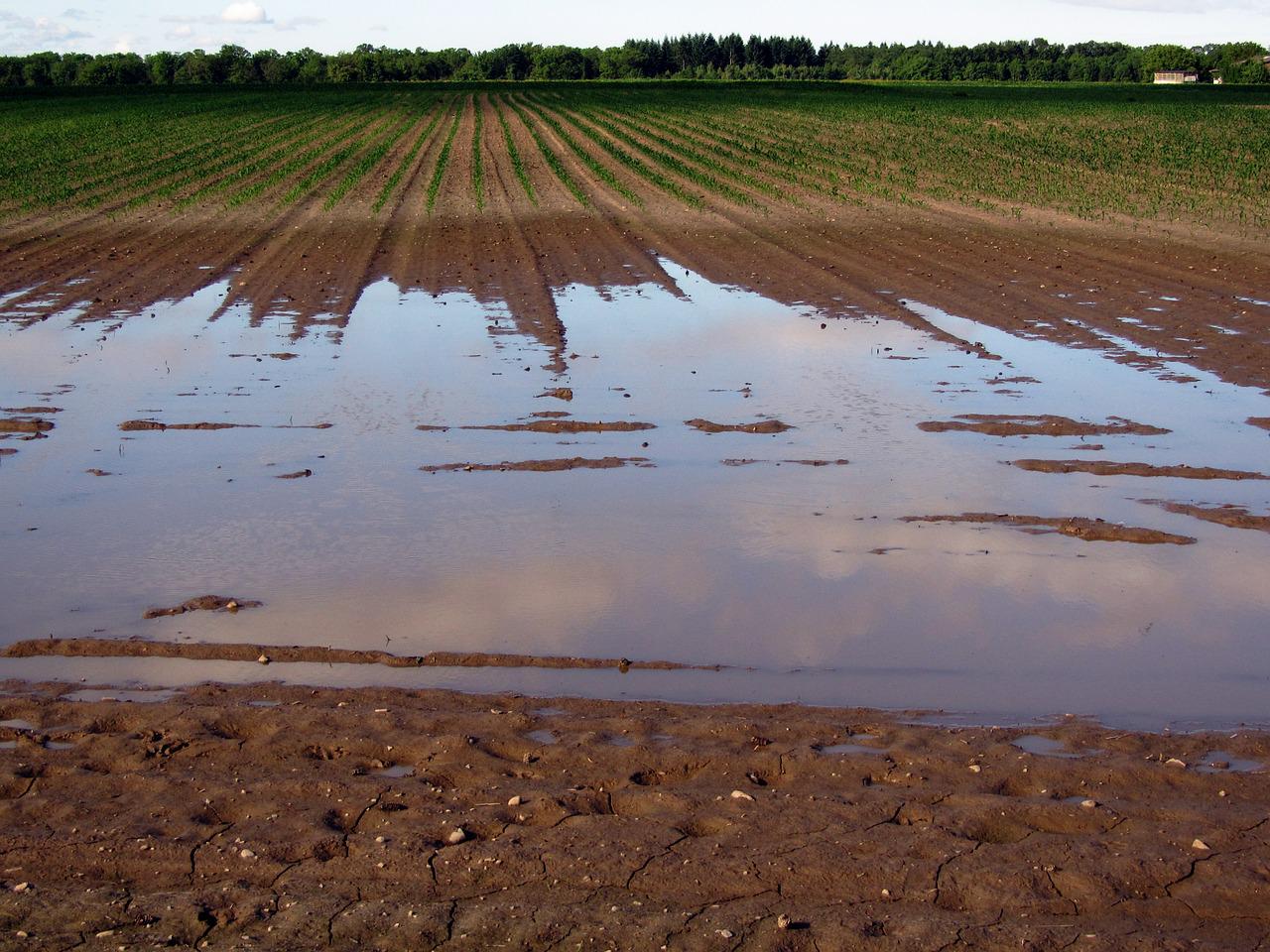
Indeed, by April 24, topsoil moisture was rated at surplus in all Midwestern states except Iowa, according to today’s Drought Monitor report of the U.S. Department of Agriculture (USDA).
The bad news, as a result, corn seeding is at least 10 percentage points behind the five-year average planting pace in Illinois, Iowa, Kentucky, Minnesota, and Missouri.
On April 26, the daily-record low temperatures in Iowa included 19°F in Sioux City and 22°F in Cedar Rapids.
Elsewhere, the northern Plains received significant moisture for the second week in a row but topsoil moisture was still rated very short to short in each of the region’s states except North Dakota.
Following the latest storm, moderate to major flooding developed in the Red River Valley, extending northward from near Grand Forks, North Dakota, ND.
Farther south, however, high winds again raked the central and southern Plains and the Southwest, resulting in blowing dust and fast-spreading wildfires.